This page is currently under construction, while the course is modernised:
- The old faded control markers are being replaced with new ones that allow you to record your arrival in the MapRun app (via GPS or QR code) rather than with paper and pencil!
- A couple of points which were previously removed due to dangerous diseased trees will be reinstated in safe locations nearby, at which point the map available for download (as described below) will be updated.
You may already be at the orienteering course, e.g. if you arrived here by scanning a QR code like the one shown here. 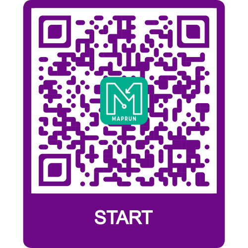 You can use these to record your trip around the course, by using the free Maprun smartphone app.
Find more details and download the course maps for free from the Crickley Hill Permanent Course page on the British Orienteering website.
When you get to Crickley Hill, you’ll find a sign similar to the QR code above at each control point, on fixed markers such as wooden posts.
We also have over 40 virtual Courses set up on the streets of Gloucestershire, which you can run any time using the Maprun smartphone app.