

Sunday 22/11/2026 -SWOA and NGOC League 11 and Army Long Distance Championships - Soudley Woods
Dated 06/10/2026
Unfortunately, due to Storm Claudia, we had to cancel the Soudley NGOC League event scheduled for last November. The event has now been re-branded as a SW League level-C event, incorporating the Army Long Distance Championships and the police – army – RAF challenge event, and an England junior selection race for Interland 2027. We will also welcome the GB orienteering team who will be using it as a training event. Soudley Woods are an attractive mix of mature conifer and beech plantations on steep valley sides above the Soudley Brook. Some areas of the woods have not been used for orienteering for many years. Due to the larger numbers of competitors expected, as well previous problems with flooding, new parking and assembly arrangements have been made within and around the village of Soudley. The event is being held back-to-back with an Orienteering Foundation training day and Western Night League score event at nearby locations in the Forest of Dean on Saturday, for which separate details are available.
Entries will open soon at Fabian 4, and will close at midnight on Tuesday 18th November.. Please note that this is a little earlier than we would normally close entries, to allow time for the allocation of start times for the Inter-Services events
Officials
Organisers/Planners: Andy and Gill Stott, NGOC Queries? email Andy
Controller: Paul Gebbett, BOK
Directions and Parking
Parking will be on four different sites, including priority parking at the Forest of Dean Heritage Centre for families with young children and ultra vets. The main parking will be on forest tracks, with a 400-800m downhill walk to assembly (and uphill on return!). There will be a drop-off point for club tents on the way to the main parking. Tents may then be carried 250m to the assembly area. More details on parking options will be provided.
Directions to parking will be given from the centre of Soudley village:
What 3 words: ///meanders.guidebook.pointer
Grid Ref: SO 658 105
Routes to Soudley are available from the A48 at Blakeney, from Cinderford/Ruspidge, Littledean, Parkend and Blackpool Bridge. The minor road south from Littledean to Soudley is single-track with limited passing places. Many Forest roads were damaged during storm Claudia and repairs are in progress. Check for road closures before travelling (updates will be provided).
Assembly and string course
Assembly will be on open common land adjacent to Soudley Primary School and the remains of the Iron Age Soudley Camp. There will be space for club tents and shelters. Podium Catering and Compass Point sports shop will attend. Portaloo toilets will be available. There will be an adventurous string course adjacent to assembly and there are also easy walks around the Soudley Ponds. The nearby Dean Heritage Centre has facilities including a café and toilets, exhibits, a Gruffalo trail and playground. Donations are invited.
Click on the parking icon on the map below, and then the  icon to get directions to the course.
The Area
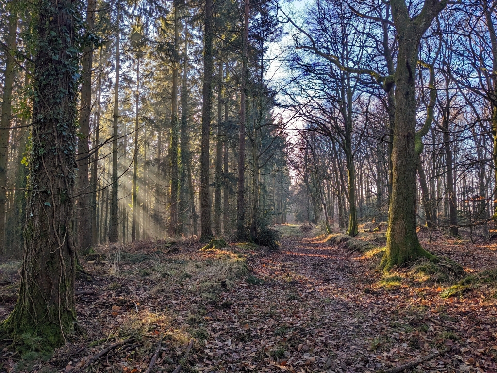
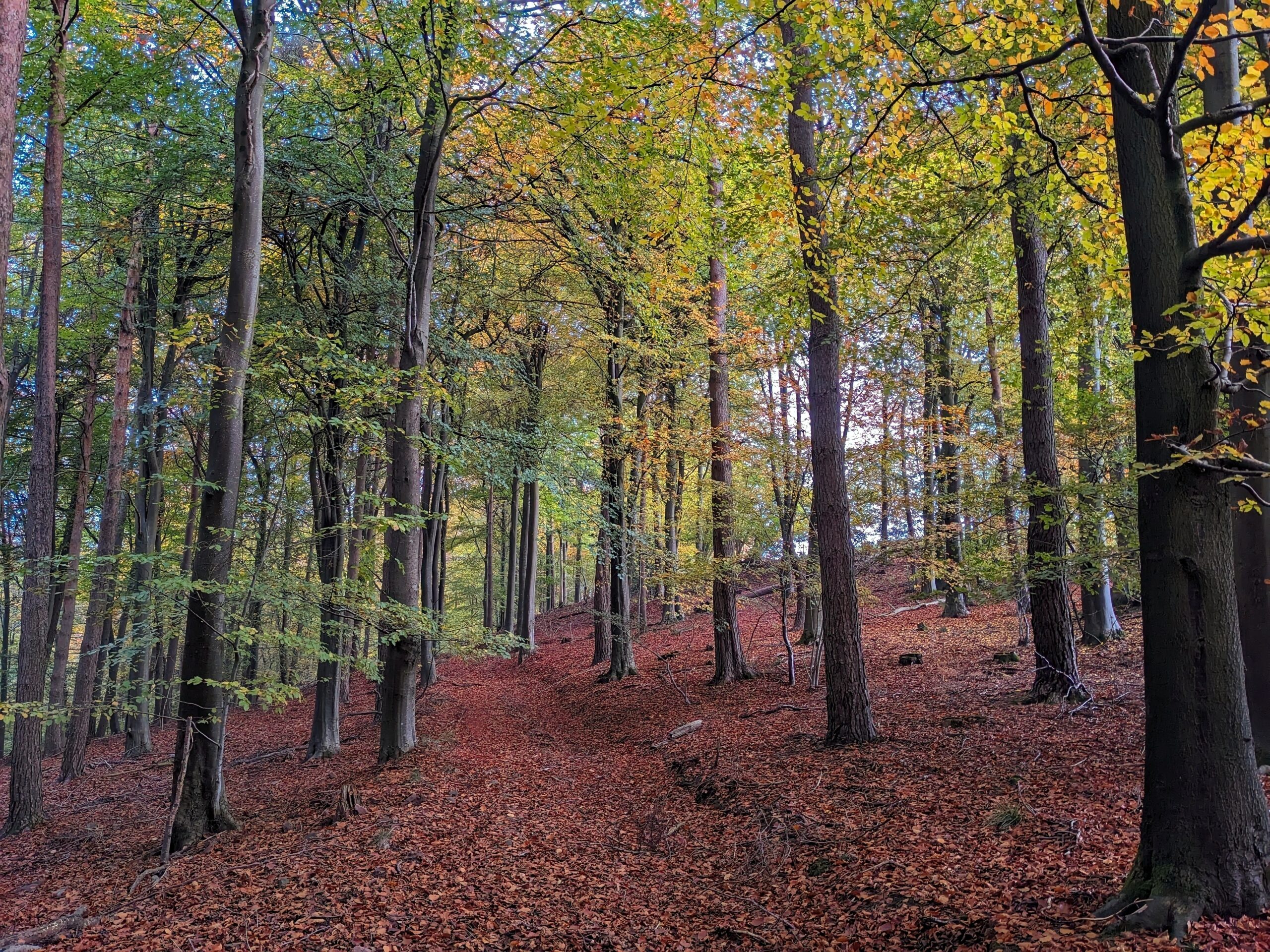
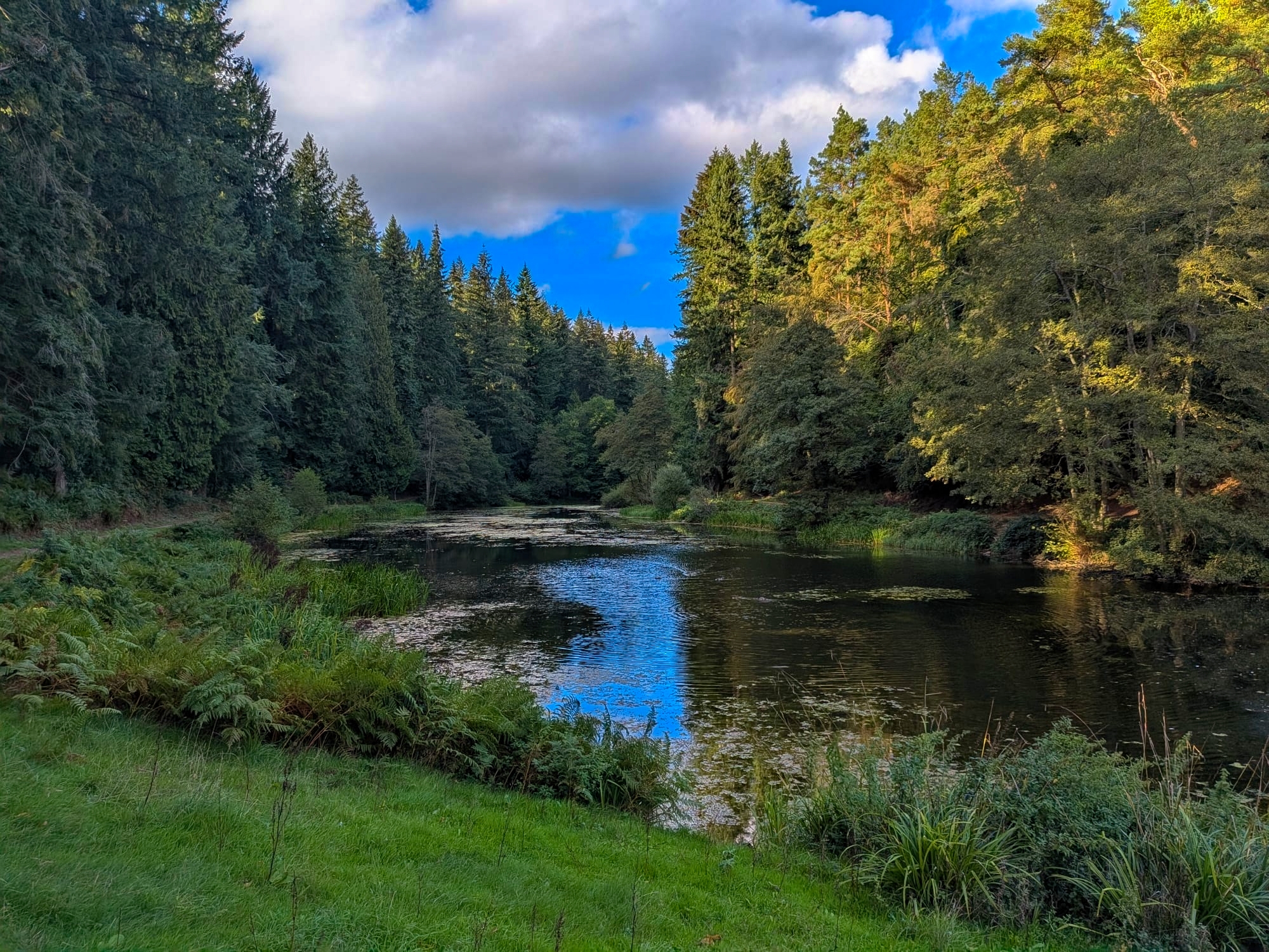
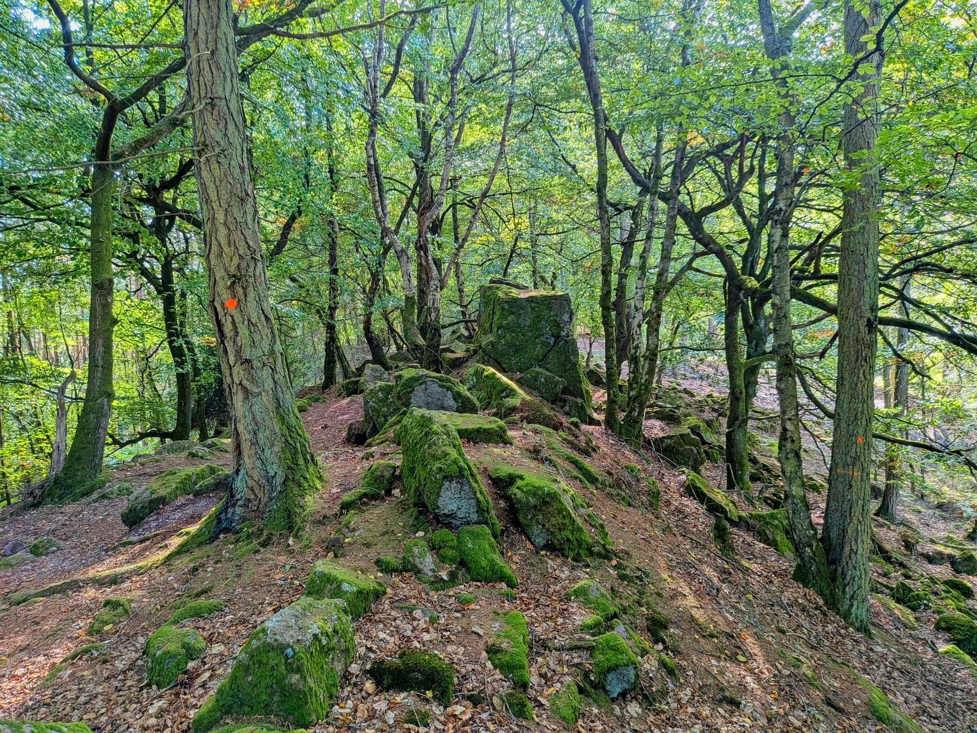
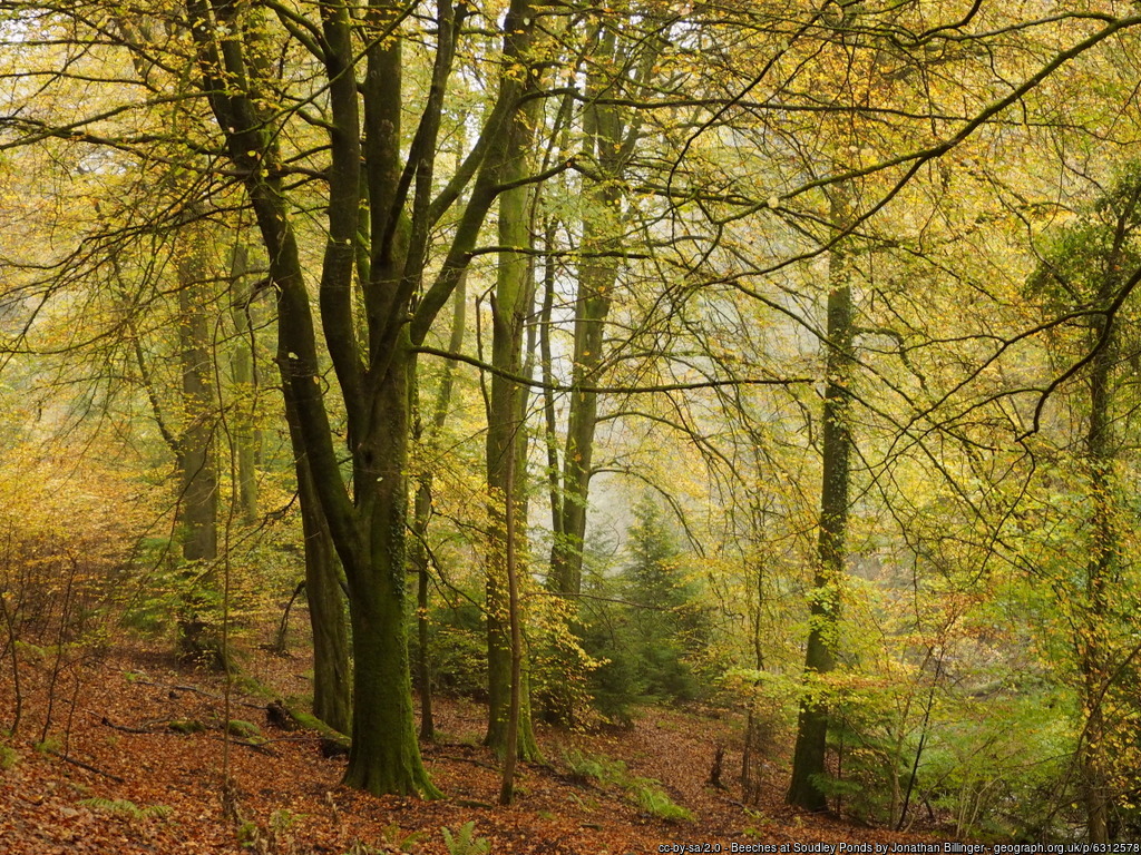
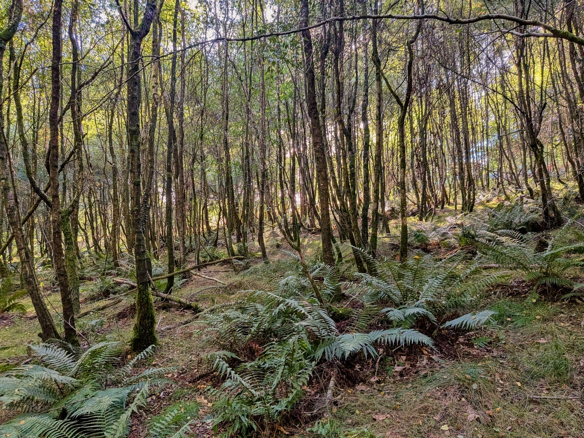
Soudley is a mature, mixed woodland on the steep valley sides of the Soudley Brook. Most courses will use the steep hillside to the east of the Soudley Ponds. The Black course crosses the minor road to use part of the forest to the west. Running conditions are varied, with some runnable open beech woods, as well as slower terrain with recent thinning. There are many charcoal platforms and some fine contour details from former mining, old field enclosures and quarries. The longer courses (Black, Brown and Blue) have route choices including a network of public footpaths around cottages, gardens and paddocks which will be new to most orienteers. Some areas are impacted by recent thinning operations.
The threat to our forests and woodlands has never been greater. Trees and plants in Britain are now vulnerable to a range of new pests and diseases as a result of a combination of climate change and the increased movement of goods around the world. Activities in forests can increase chance of spreading a pest or disease. Everyone who visits or works on managed forests can make a difference.
Please arrive with clean footwear and clothing and clean footwear and clothing either on site or at home before visiting another woodland, “Leave the Forest in the Forest”.
The Map
Black, Brown, both Blue, Long Orange and Trail courses have 1:10,000 maps. All other courses have 1:7,500 maps.
Areas of recent thinning, with heavy brashing that may slow progress, have been mapped with the undergrowth slow run symbol (widely spaced vertical green lines). Generally, routes can be found around the brashings. Dense bramble tends to be limited to open, track-side situations. Bracken is localised and seasonal dieback will be well advanced. Following recent storms there are many fallen trees that are not mapped. These generally occur individually and can be avoided. Temporary wooden shelters, hides etc are also not mapped. There are dangerous crags on slopes south of the start.
All courses use surfaced footpaths around Soudley Ponds on approach to the finish. These footpaths are popular with dog walkers and competitors should be respectful and careful of other users.
For biosecurity reasons, the Soudley Ponds and adjacent marshes are strictly out of bounds and orienteers must only use the surfaced paths and bridges as shown on the map.
Black, Brown and Blue courses will encounter private land, clearly mapped as out of bounds, and fences must not be climbed. Adjacent public roads are also marked out of bounds and cannot be used as route choices. Orienteers using OOB areas will be disqualified.
The Black course crosses a minor road to reach the western part of the map. It is permitted to make a direct crossing of the minor road which is marked out of bounds but not to run along the road. On the west side of the road there is a partly ruined fence on a bank. Advisory crossing points are marked on the map and will be taped. A section of the fence is marked as uncrossable. The Black course also crosses forests tracks that will be used for orienteering parking. These tracks may also be crossed directly, with due care, but it is not permissible to run along them as route choices.
Start and Finish
The start is located 300m and 70 m steeply uphill from the assembly on rough tracks. Allow 15 mins. There is a slightly shorter direct route from priority parking to the start.
The finish is located 100m from assembly. The route from the final control follows a main lakeside path much used by walkers. You must take particular care when racing to the Finish to avoid any such passers by.
We will use SI Timing, in contact and touch free modes. All runners must however punch the Start and Finish controls. You MUST go to Download even if you do not complete your course – we need to confirm that you are back safely!
Starts are open from 10.30 to 13.00 and courses close at 15.00 hrs. We will be operating a queuing start system for each course within 30 minute blocks. The pre-start area is quite restricted. When you enter on Fabian4 you will be asked to select a start block (Early 10.30 -10.59, Early-middle 11.00-11.29, Middle 11.30 -11.59, Late -middle 12.00-12.29, or Late 12.30-12.59). This is intended to manage the number of people at the start and allow for Army teams and juniors in the selection event to be separated by 3 mins. We ask your assistance and patience in allowing army, junior competitors, as well as helpers, to be slotted into queues waiting at the start. Army competitors will have assigned start times and will be seeking to start accordingly.
In adverse weather a clothing dump will be provided which will be transferred to assembly. It will be open air, not a tent, so bring suitable bags.
Parents or other carers requiring split starts should enter in the appropriate start blocks (early and late), noting the earliest and latest start times available (10.30 and 13.00, respectively)
Courses
Standard SW League courses are available: Brown, Blue, Green, Short Green, Light Green, Orange and Yellow. In addition Black and Long Orange and a Trail Run (TD2) will be available. The senior courses are planned to encourage cross-country running, with options for less direct track and path running in some places. Given the nature of the terrain, courses include significant climbs and course length has been adjusted accordingly.
The Yellow course will have a short taped leg which passes through a small car park. The route will be clearly marked but care should be taken around moving vehicles.
Provisional course details are as follows:
| Class/Course | length(Km) | Climb(m) | Controls | Map | Open to.. |
|---|---|---|---|---|---|
| Black | 8.9 | 440 | 22 | A4, 1:10,000 | Any experienced orienteer Not included in NGOC and SW League |
| Brown | 6.8 | 340 | 19 | A4, 1:10,000 | NGOC and SWOA Leagues, Army Championships, Interland M18 |
| Blue | 5.6 | 220 | 15 | A4, 1:10,000 | NGOC and SWOA Leagues, Interland M16, W18 |
| Blue (Army) | 5.7 | 240 | 16 | A4, 1:10,000 | Army Championships, Police-Army-RAF Challenge |
| Green | 4.1 | 120 | 14 | A4, 1:7,500 | NGOC and SWOA Leagues, Army Championships, Police-Army-RAF Challenge, Interland W16 |
| Short Green | 3.2 | 90 | 12 | A4, 1:7,500 | NGOC and SWOA Leagues, Police-Army-RAF Challenge |
| Light Green | 3.3 | 125 | 13 | A4, 1:7,500 | NGOC and SWOA Leagues, Interland M/W14 |
| Long Orange | 5.4 | 120 | 15 | A4, 1:10,000 | Army Championships, any improving orienteer Not included in NGOC and SW League |
| Orange | 3.3 | 90 | 11 | A4, 1:7,500 | Adult beginners and improving juniors |
| Yellow | 2.0 | 40 | 7 | A4, 1:7,500 | Juniors |
| Trail (Red) | 5.0 | 140 | 10 | A4,1:10,000 | Runners and Novice Adult Orienteers Not included in NGOC and SW League |
These details are likely still to change a little. They are however representative of the likely final details.
Course distances are the straight line between controls. For the Trail course, using the likely path route will result in a course distance of approximately 5km. Trail course runners can run in pairs or groups if they wish.
There will be a string course located very close to assembly.
We will use SI Timing, in contact and touch free modes. All runners must however punch the Start and Finish controls.
You MUST go to Download even if you do not complete your course – we need to confirm that you are back safely!
Whistles must be carried by juniors running on their own and are highly recommended for all competitors. If you hear a distress whistle, please go to assist.
Entries, Timing and Fees
Please select a course appropriate to the competition you are entering. You will also be asked to select a start block. Although it's a turn up and go punching start, on several of the busier courses Army runners will have allocated start times, not blocks, and Interland runners need to be separated by 3 minutes from others on the same course. Available slots in the start blocks are therefore limited to allow for these runners, so you should enter early to be sure of getting your preferred start slot. Please try to arrive in the start block you have selected, and be prepared to make way in the start queue for those with specified start times.
To be considered for Junior Interland Selection, you are expected to enter the appropriate colour for your age-class in 2027, as listed below. Selectors will also look at results for those who choose to run up.
- Brown: M18
- Blue: M16, W18
- Green: W16
- Light Green: M14/W14
Starts: 10:30 - 13:00.
Courses close: 15:00, meaning that you must report to download before 14:15, or risk disqualification. Please ensure that you allow sufficient time to complete your course.
| Fees | Pre-entry | Entry on the Day | Non-member Supplement |
|---|---|---|---|
| Adults | £12 | £14 | £2 |
| Juniors | £6 | £6 | £1 |
| Family (2 adults + their children) | £24 | £28 | As above for any non-members |
SI dibber hire: Standard dibber £1 Adults, Juniors free
Touch Free dibber: £2 Adults, £1 Juniors, free
Entries will open soon, and will close at midnight on Tuesday 17th November.
Entry on the day is possible only while maps last, but note the premium price to discourage this. We should be able to accept credit/debit card payments, but this is not guaranteed so bring cash just in case. We expect a large number of pre-entries and there will be limited entries and start slots available on some courses. You will be allocated a start block, depending on slots available, so your preferred start time may not be available. You are strongly advised to pre-enter! We will not reserve maps for people who contact us after entries close and ask us to do so; you take your chance with all others who choose to enter on the day.
A helper discount is available for those offering to help on the day. Arrangements for this event, with a large number of orienteers, multiple competitions, distributed parking sites and road crossings, mean that we will require a larger number of helpers than usual. Helpers will have the option of early or late shifts and can fit in their runs accordingly. By entering the event early, helpers will be able to select start blocks that will fit with their shifts. In memory of Carol Stewart we want the event to run as smoothly as possible! These events don't happen without volunteers willing to help out on the day, so if you are able to do so, before signing up to enter, email Ian Prowse, Volunteer Coordinator, to let us know that you can help, and ask for the helper discount code that you can apply when entering. You don't have to be a NGOC member to help, but you do need to be a BOF member to be covered insurance wise.
Refunds
The standard Fabian4 terms and conditions offer an automatic refund up to 2 months before the event date, and we do not normally vary this specification. That means that in most cases no refunds are possible, as we do not publish details until less than 2 months before the date of the event.
However, for all except large events we hold entries open until only a day or so before the event, so you can delay entry if unsure whether you can run, until very close to event day.
Dogs
Dogs are allowed in the area and courses as long as they are under control and owners tidy after them.
the area is popular for dog walking and other dogs are likely to be encountered on all courses.
Facilities
Toilets will be available in the assembly area.
We expect Podium Catering and CompassPoint to be present.
The Dean Heritage Centre is close to assembly and well worth a visit if time permits. It has an excellent museum, a Gruffalo Trail, and small playground, as well as toilets and a cafe. Entry is free but donations are encouraged.
If you are interested in obtaining NGOC club kit, whilst there will not be an extensive range of sizes to try on at the event, we can have a few sizes available for specific items. You can see the options, and a size chart, on the Club Kit page. Email paul@ngoc.org.uk with details of any items, and relevant sizes, you wish to try, and we can have those available.
Safety
Important: Please note that as from 1 January 2026 Non-members of British Orienteering are not insured under British Orienteering’s public liability policy. By entering this event, you acknowledge that you are participating at your own risk.
First Aid will be available at assembly.
Safety bearing. If lost the best option is head west, downhill until you meet a forest track and follow that downhill until you reach the Soudley Ponds car park and then follow the well-made path, south beside the ponds until you meet the route to the start and retrace your steps to assembly.
Whistles must be carried by juniors running on their own and are highly recommended for all competitors. If you hear a distress whistle, please go to assist.
The Soudley-Blakeney Road lies on the eastern edge of the map and is marked as OOB. This is a narrow road with poor visibility and fast traffic. It should only be accessed in the case of an emergency. On Black, Brown and Blue courses some route choices use public rights of way along access roads to private properties. Care should be taken for any vehicle movements, cyclists, horses and pedestrians, especially when using paths between buildings with low visibility. As noted above, Black course crosses a minor road and car parking areas.
There are steep slopes and old quarry workings and great care should be taken when descending slopes especially in wet conditions. There are no significant streams that need to be crossed apart from the Soudley Brook, which must be crossed on surfaced paths and bridges.
All log stacks must be avoided.
Courses other Black and Brown are planned to avoid forest tracks where orienteers are parking, however orienteers should be aware of possible vehicle movements on forest tracks.
Wildlife. There are large numbers of deer and wild boar in the Soudley Woods. They will usually take flight at the sight or smell of an orienteer! Do not approach wild boar, especially sows with young. Find an alternative route.
Courteous behaviour. The Soudley ponds are a popular spot for dog walking, gentle recreation and nature watching. Unlike many places in the Forest, Soudley is not used heavily by mountain bikes and is generally very quiet. Advance notice of the event will be given to other regular users, visitors and residents. Please take great care to avoid collisions and be respectful of other users and their dogs.
Orienteering is a great sport for young people. If you bring children, please help us to keep to our safeguarding policy and British Orienteering’s photography policy.
By entering this event, competitors agree to abide by the British Orienteering Code of Conduct.
When participating in our events/activities your name may appear in the results section of this website or in newspaper reports. To see how we look after your personal data, please read our privacy policy.
NGOC follows British Orienteering’s national guidance. This provides a sensible balance between the benefits and risks associated with the taking and use of images. If you are unsure about acceptable practice, please speak to the event organiser.